

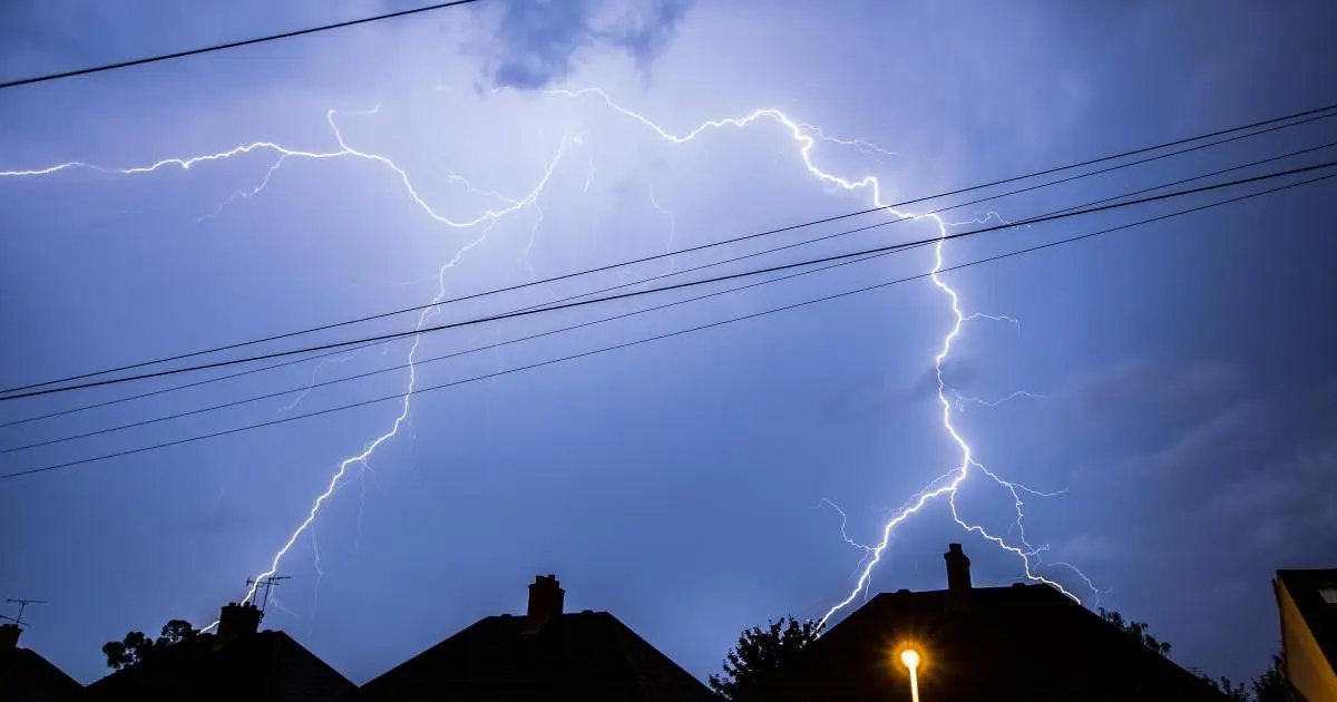

THERE is a “risk of flooding” after a forecaster issued a thunderstorm warning for Worcestershire.
A band of thunderstorms is set to greet the county on Wednesday (August 26) and Thursday (August 27) with what has been predicted to be “intense” showers.
READ MORE: Worcester holidaymaker’s incredible images of midnight Milan lightning storm
It has led the Met Office to issue a yellow thunderstorm warning with a risk of surface flooding across Worcestershire.
The warning comes after Worcestershire has experienced months of extremely dry weather and some wildfires.

The Met Office map shows that most of the Midlands will be affected by the thunderstorm warning. (Image: Met Office)
A spokesperson for Met Office said: “A band of heavy showers and thunderstorms is expected to move northwards on Wednesday morning.
READ MORE: What weather can you expect in Worcester in the last week of August?
“A drier, brighter interlude may follow, but with a chance of further showers and thunderstorms breaking out during the afternoon.
“Many places will miss these, but where they do occur, they may be intense, with 20-30 mm of rain falling in less than an hour and perhaps 40- 50 mm in 2-3 hours in a few spots, leading to some surface water flooding.
“Large hail and frequent lightning are also possible.
“The showers and thunderstorms will drift northwards and ease during the evening.”
The thunderstorm warning is in place from 3am to 10pm tomorrow and 6am to 10pm on Thursday.