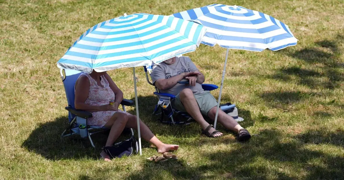

Temperatures are set to climb over the coming weekend and could hit the 30C barrier again two weeks after a record-breaking heatwave, the Met Office has said.
The UK is currently experiencing a spell of unsettled weather, with rain and showers expected to continue affecting most of the country through to Friday.
But weather conditions could take a sharp turn at the weekend, with temperatures likely to rise above the seasonal average, which is placed at around 21C for southern England.
Dan Stroud, meteorologist at the Met Office, said: “We’re looking at temperatures climbing into the weekend, particularly on Saturday and Sunday, so feeling much warmer than recent days, with temperatures quite widely above average, especially across the south come Saturday, and even more so on Sunday.”
Current indicators also suggest temperatures might hit the 30C barrier, and possibly break it, Mr Stroud added.

“How high the temperatures get is still open to a fair amount of debate,” Mr Stroud said.
“There is growing signal that temperatures will be heading comfortably into the high 20s, perhaps breaking 30 degrees again.
There are signs of warmer and drier weather on the horizon, but we first have a rather cool week with rain or showers🌦️
Find out which day will be wettest in the week ahead forecast👇 pic.twitter.com/Yy27yKcQOk
— Met Office (@metoffice) June 8, 2026
“There is definitely a chance of temperatures scraping into the above 30 degrees on Sunday, and then more so on Monday.
“We keep close tabs on it because there is always the potential for hitting heatwave criteria again.”
The coming shift in weather conditions is because of a change in the jet stream, which is currently running across the UK and driving unsettled Atlantic weather fronts across the country, Mr Stroud said.
“End of this week, high pressure starts to build from the south, with clearing skies and rising temperatures over the continent,” Mr Stroud added.
“It’s just a perfect recipe for temperatures to actually start climbing.”
The south and South East of England are likely to experience the highest temperatures over the coming weekend, according to the Met Office.
But more unsettled weather is to be expected in the meantime, with Tuesday set to be a day of sunny spells and showers for most.
Heavy and thundery summer showers can also be expected across the north of the country, Mr Stroud said.
Thursday will likely be wet and windy for many, before the weather turns drier and increasingly settled from the south on Friday.
There’s more rain on the way this week 🌧️
It won’t be raining all the time but showers are likely for many, with Thursday looking like the wettest day. Totals will build as the week goes on👇 pic.twitter.com/gZ1JcwokD3
— Met Office (@metoffice) June 8, 2026
“Thursday is likely the wettest day of the week, with an organised band of rain moving across us,” Mr Stroud said.
“But there is light at the end of the tunnel.”
It comes after a record-breaking heatwave which saw May 26 become the hottest day in May on record for both England and Wales, with 35.1C measured at Kew Gardens and 32.9C at Cardiff Bute Park.